Amenities
- Dogs On-Leash
- Hiking Trails/Walking Paths
- Waterfront Location
- Stretch Station
- Wildlife Viewing
Andrée Clark Bird Refuge
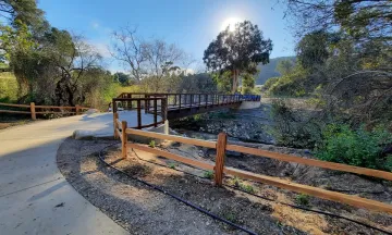
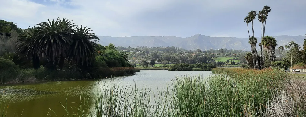
The Andrée Clark Bird Refuge is a 42-acre open space park that includes a 29-acre lake, and an artificially modified estuary that supports brackish (slightly salty) wetlands. The park provides passive recreation opportunities such as bird watching, hiking, and biking. Boating and fishing are prohibited, as is feeding the wildlife. This park's lake provides a safe haven for migratory and local birds. A multi-modal (walking, running, and biking) path, interpretive self-guided tours, and walking trails make this a popular spot. Outdoor fitness equipment at the adjacent Stretch Station allows stretching before or after exercise in the area.
The eastern and southern perimeter of the Bird Refuge includes a Class I bike path around the lake that extends from the Bird Refuge, along the ocean and harbor, to Shoreline Park. The Bird Refuge includes walking paths along the northern shore and three viewing platforms that provide excellent opportunities for bird and other wildlife observation. Over 200 species of birds have been observed at the Bird Refuge. Native and non-native turtles can be observed basking on floating vegetation and along the perimeter of the islands. Sensitive wildlife resources present at the Bird Refuge include tidewater goby, southwest pond turtle, and several birds protected under the Migratory Bird Treaty Act.

